USA - WWR part 2
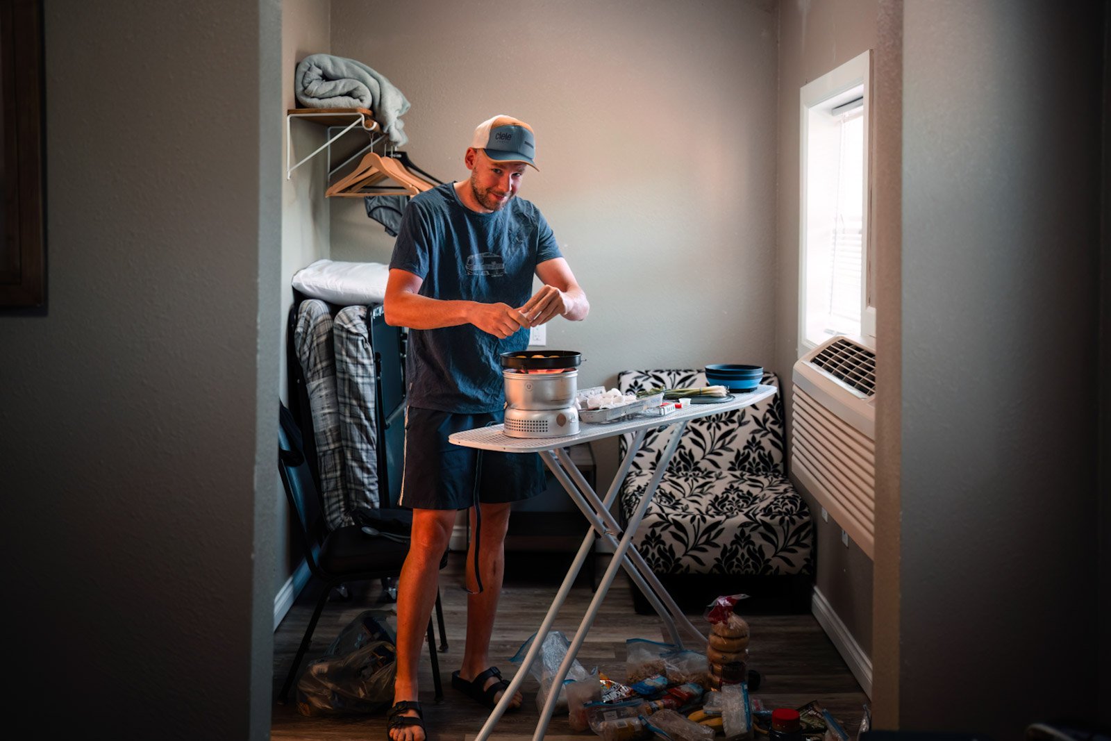
In Pierce we had a small room with an improvised kitchenette.
We were already used to the black bears that scurried into the bushes in front of us several times a day. However, as we leave Pierce, a squeaking fawn suddenly runs towards us before a bend. Not particularly spectacular yet, but when Mommy Deer and a Gray Wolf appear behind them, we were right in the middle of the action. The animals and we stood frozen. The deers disappeared into the forest on the left and the wolf on the right. The camera wasn't ready, just like with the big moose a few kilometers later.
We had to cross two very strenuous passes to get to the small town of Elk City. Luckily, most of the time through forests, we were a little protected from the hot sun.

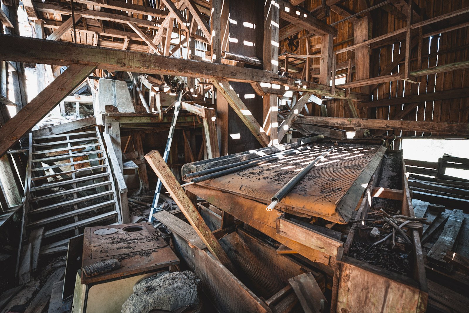
On the way to the Magruder Corridor we see one of the many "Historical Site" signs along the roadside. Here an old gold mill is pointed out. On the other side of the river in the distance we only see a tin roof, of course that wasn't enough for us and so we crossed the closed bridge at the next opportunity and started looking for the way to the gold mill. This turned into a half-hour bush walk - very exciting, but we didn't find a "nugget".


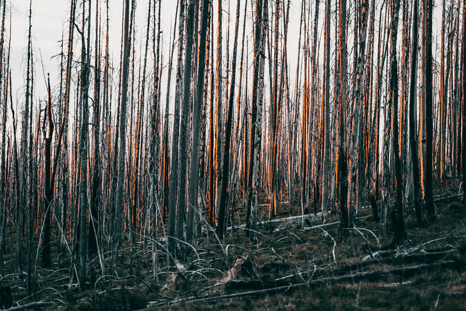
The Magruder Corridor, a 110-mile road through America's largest wilderness area. In a Wilderness Area, forest fires are no longer extinguished and roads are no longer cared for and maintained. However, local volunteers are doing their best to keep the corridor passable.


One day we drove together with Matt, he drives the Western Wildlands route for the second time and was able to tell us a lot about the region.


On our second day on the Magruder Corridor, the last climb was so steep that we had to push most of the time - sweat was dripping.


At the water spring where we were camping we met Cathy, Domenic, Jeff and Ray, who had also set up camp there with their UTVs. We were immediately handed a cold beer and invited to dinner - incredible hospitality. Jeff and Ray work for one of America's largest toilet paper manufacturers. Later around the campfire they explain to us that the harder the wood, the softer the toilet paper. That is why the USA imports a lot of eucalyptus from Brazil.


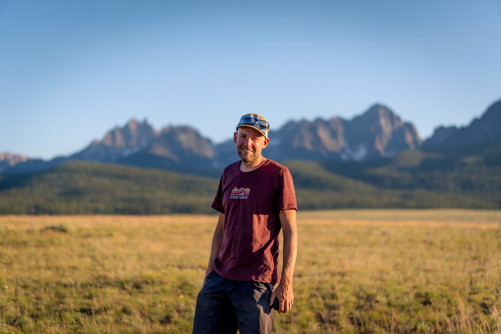
After saying goodbye in the morning, we have a magnificent view from the Observation Point - the photographer has everything under control.


After 110 km downhill we reach Darby exhausted, a small western town at Trapper Peak. A walk through the candy store helps.


The oldest surviving ranger station in the USA is located south of Darby in the Bitterroot National Forest. It was built in 1899 because many wood thieves had caused unrest in the region in the past.
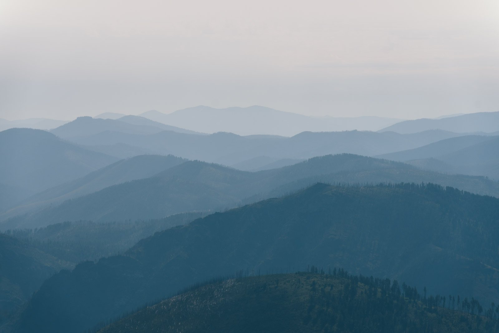
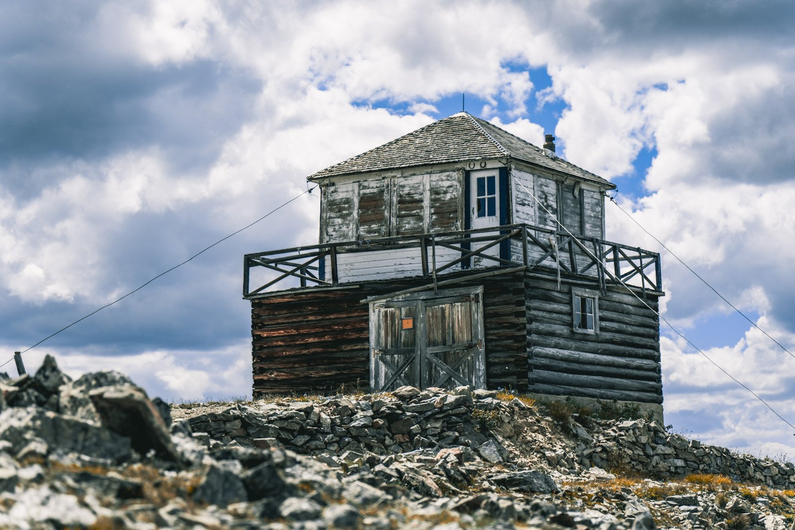
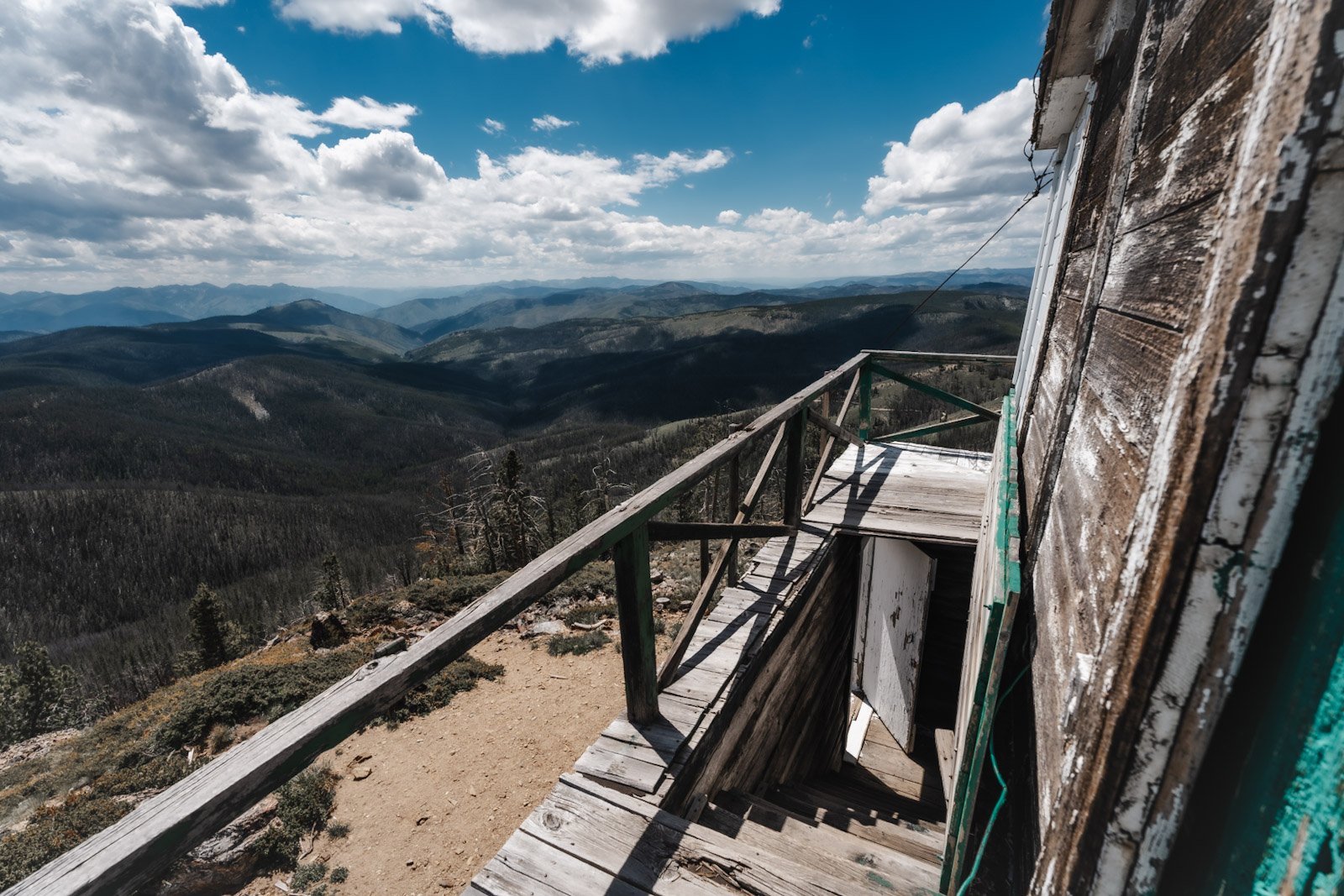
It's uphill all day and the additional 200 altitude meters to the Blue Nose Lookout doesn't matter anymore. At that time, people looked out for forest fires from the small hut at 2641 m. We had a great view and ramen.


After the descent we had beautiful evening light on the Salmon River.


On the way to Challis the landscape changed completely. The hills in the prairie were covered with bushes and grass and only a few trees were seen - that's how we imagined the "Wild West".


Between Challis and Stanley we finally met Mike. We were in contact with him through a Facebook group, he drives the route northbound. He always has his ukulele with him.
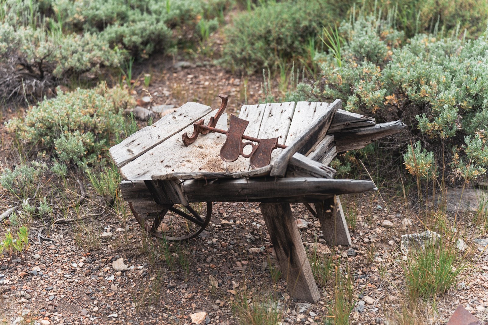
There are still a few gold mining ghost towns along the route. Some of the buildings are well preserved and tools from the gold rush days are scattered around.


In Stanley we were looking forward to a sunset at the Sawtooth Mountains, the Milky Way and a solar storm were announced for the night.